Up to 200 mm of rain is expected over parts of southern Alberta this weekend from a massive weather system that’s bringing back memories of the devastating floods that hit the area 12 years ago this weekend.
The storm’s arrival has prompted Environment Canada to issue a special weather statement for a large part of the province stretching from Jasper to Medicine Hat, including the cities of Calgary and Lethbridge.
The heaviest precipitation will fall over the foothills of the Rocky Mountains where some areas, like Pincher Creek and Waterton National Park, could see up to 200 mm of rain.
However, most areas are forecast to receive between 50 and 100 mm of rain — including the city of Calgary.

With the massive storm expected to dump up to 200 millimetres of rain on some parts of Alberta, Environment Canada has issued a series of special weather statements for an area stretching from Jasper to Waterton National Park.
Global News
“We will see rainfall starting Friday afternoon and evening and then continuing through your Saturday, Saturday night, then starting to wrap up on Sunday,” said Christy Climenhaga, a scientist with Environment and Climate Change Canada. “So we’re expecting a lot of rain in a relatively short period of time.”
“It’s a significant event. I don’t want to downplay how much rain that we’re going to get (but) at this point, it is not really looking to be the same as what we saw in 2013, where we saw some areas in southwestern Alberta pulling in 300-plus mm,” added Climenhaga.
The cities of Edmonton and Red Deer are not included in the special weather statement.
The temperature is also expected to plunge, causing the rain to change to wet, heavy snow overnight in some mountainous areas with up to 20 cm of snow possible in areas such as the Highwood Pass, east of Calgary and Highway 93, in Banff and Jasper National Parks.
In Calgary the overnight temperature is forecast to be about 4 C on Saturday and Sunday.
Strong northerly winds are also expected to develop on Saturday, with gusts of 60-80 km/h in some areas — strong enough to damage or topple some trees.

The storm’s arrival on Friday will coincide with the twelfth anniversary of the catastrophic flood that hit Calgary in 2013, causing an estimated $6 billion in damage.
Global News
Tricia Stadnyk, a professor in the Schulich School of Engineering at the University of Calgary said a few days ago the storm appeared like it might pack a similar punch to the rain that hit the area in 2013 — but it has weakened significantly over the past day or so.
And unlike 2013, much of southern Alberta is suffering from drought, so river levels are unprecedentedly low and a lot of storage capacity in the rivers and lakes to absorb this type of rainfall.
“We could still see rivers and lake level spike quite intensely as this rain falls, especially if it falls really suddenly within a one, two hour period — so that really depends on how the storm evolves,” said Stadnyk.
“When that happens, there’s still a risk of temporary flooding. For sure with a rainfall like this in urban areas, we expect to see some street level flooding, particularly on highways and things like that, at least in and around the heaviest peak of the storm. But all in all, there’s quite a bit of storage space out there.”
In preparation for the storm’s arrival, the city of Calgary has begun lowering the water level in the Glenmore Reservoir so it has room for the water flowing into the city along the Elbow River.
“The City of Calgary has a hydrometric forecasting team that operates really 24-7 from the May 15 to July 15 period — and so about around Sunday we were starting to notice the evolution of a larger system that was likely to bring heavier precipitation to our area,” said Frank Frigo, manager of environmental management with the city of Calgary.
“So every six hours we run a series of models to be able to understand how river flows and levels might change and that’s allowed us to make some management decisions about water levels, particularly in the Glenmore Reservoir.”

While the 100 milimetres of rain expected to fall on the Calgary area is about a third of the amount of rain that fell on the city during the 2013 flood, city officials have opened the gates on the Glenmore reservoir to reduce water levels and increase its capacity to store runoff from the impending storm.
Global News
Since the 2013 flood, which forced the evacuation of more than 100,000 people in the city of Calgary and caused an estimated $6 billion in damage, the city, the province and the federal governments have also spent hundreds of millions of dollars on a variety of flood mitigation projects to prevent another similar disaster.

“In the 12 years since 2013, 71 per cent of the damage potential the city of Calgary had has been eliminated by measures that have been put in place,” said Frigo.
“On the Elbow River, two of those important investments are the gates that were placed on the crest of Glenmore reservoir, which roughly doubled the storage handling volume for floods that we have at the Glenmore reservoir, and of course there’s the Springbank (offstream) reservoir that the government of Alberta recently completed construction of further upstream that adds about four times more storage,” added Frigo.
“When this storm was forecasted, there was more rain falling in Calgary area than there was upstream, in which case something like the Springbank reservoir wouldn’t help much because we’re downstream of it,” said Stadnyk.
“But over the last couple of days, it’s evolved so that that precipitation is falling in the foothills of the mountains and on the eastern slopes — in which case, SR1 (Springbank reservoir) is strategically positioned upstream of the city of Calgary and can be used in order to store some water temporarily and slow down the rise of the water levels and the peak that would hit Calgary as a result of a very heavy, fast and intense rainfall.
“We’re all holding our breath right now to see if this is the first trial or use of SR1.”

The Springbank off-stream reservoircost about $850 million to build and is meant to store runoff from floodwaters, protecting the city of Calgary, which is located downstream.
Global News
While the incoming storm isn’t expected to cause any catastrophic flooding, the city is expecting to see some impacts such as bank erosion, increased debris in the river and possibly flooding of some low-lying streets or trail underpasses along the river.
“Our normal stormwater drainage systems may be overwhelmed by the rainfall that we do get,” said Frigo. “It’s important that people out driving or doing anything in the outdoors that they’re very careful about those conditions.”
“We’re also asking Calgarians to make sure that they are prepared in terms of having their downspouts cleared and making sure that lot drainage around their homes don’t lead to any potential issues in terms localized flooding,” added Frigo.
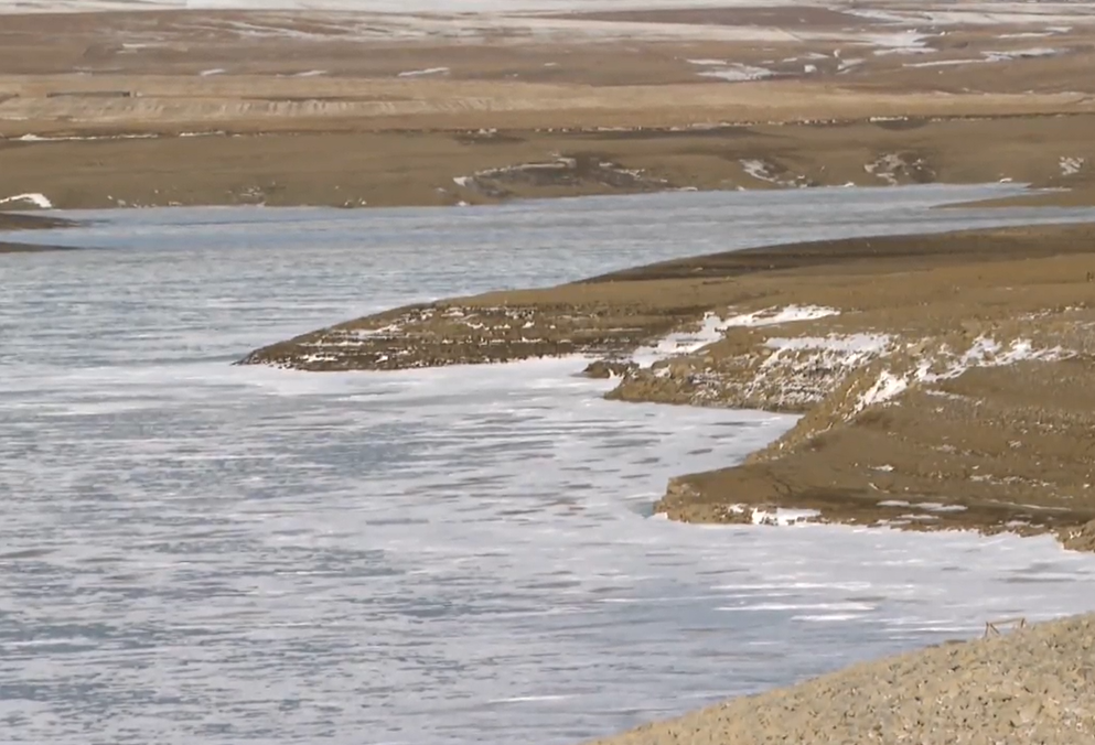
The up to 200 millimetres of rain expected to fall over southwestern Alberta should be a big help to water levels in the Oldman and Milk Rivers that have been suffering from severe drought conditions.
File photo
For farmers and gardeners, the rain will provide some much-needed moisture, especially in the Oldman and Milk River basins that are suffering from severe drought conditions.
“I don’t know if you remember January. It was long, it was cold and it was dry and as a result we’re seeing a lot of plant material that suffered during that,” said Kath Smyth, a horticulturalist with the Calgary Horticultural Society.
“We need this moisture, we need to build ground moisture — it’s crucial to how we’re going to develop any kind of green.”
With temperatures in Calgary expected to drop to just a few degrees above zero on the weekend, though, Smyth said gardeners might want to cover their plants.
